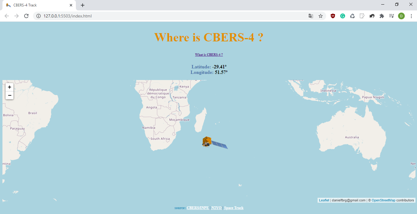
App dedicated to locating the position of the CBERS-4 satellite, partnership between Brazil and China in the space technical-scientific sector.
Consuming the following APIs and library:
Leaflet is a widely used open source JavaScript library used to build web mapping applications.
CBERS-4 https://www.n2yo.com/satellite/?s=40336
NORAD ID: 40336
Int'l Code: 2014-079A
Perigee: 779.5 km
Apogee: 782.2 km
Inclination: 98.6 �
Period: 100.3 minutes
Semi major axis: 7151 km
RCS: Unknown
Launch date: December 7, 2014
Source: People's Republic of China (PRC)
Launch site: Taiyaun Space Center, China (TSC)