Hi!
I can’t really pin-point it but for some routes along the Croatian coast I get points with NaN elevation in brouter-web which break the elevation profile. Interestingly, when I re-draw it with slightly different coordinates I don’t get NaN at all or at other points (even though the route still follows the same roads).
Route used:
http://brouter.de/brouter-web/#map=9/44.9134/14.5322/OpenStreetMap&lonlats=14.548645,45.117987|14.488907,45.052238|14.726315,44.836032|15.183105,44.447469|14.007568,45.57557&profile=fastbike
Screenshot:
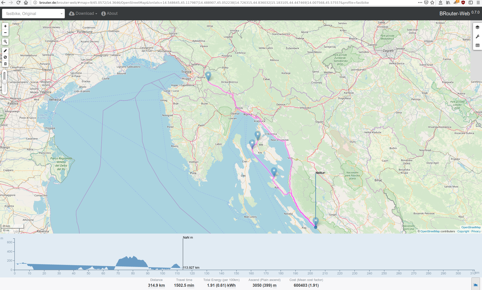
